Search
Title
Type
View
我们确保开发项目提案对城市肌理产生积极影响,并在整个决策过程中最大限度地提高客观性。
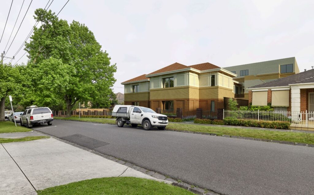
我们评估拟定的建筑形态对周围环境可能产生的视觉影响。
我们的可视化团队通过一套系统流程来评估城市环境。
我们与客户合作无间,精准且有针对性地将建筑项目和公共空间可视化。
我们经常为维州民事及行政仲裁庭(VCAT)和规划小组(Planning Panels)的专家提供可视化。
我们将建筑物和其它结构投射的阴影效果呈现出来,协助设计出强化公共区域和支持城市发展的空间。
我们利用我们在建筑形态方面的专长,协助主要利益相关者创造出视觉上引人注目、功能齐全且有吸引力的空间。
Visualisation
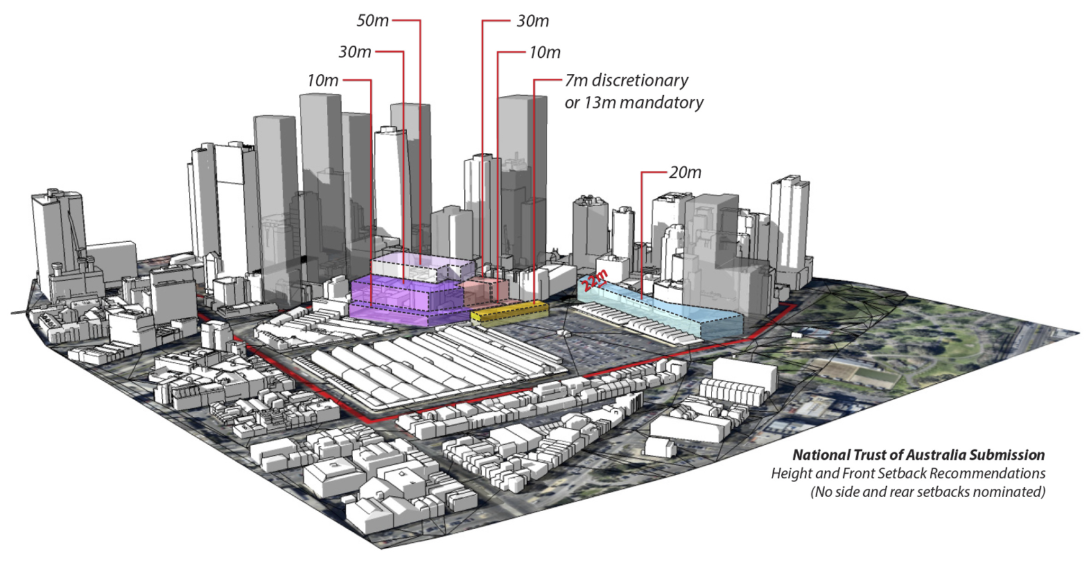
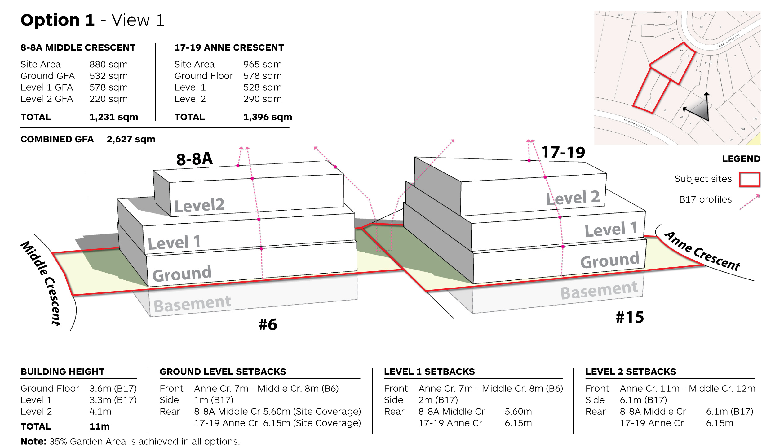
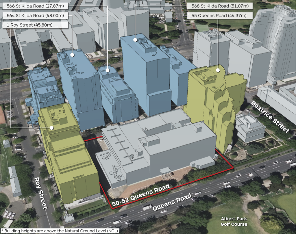
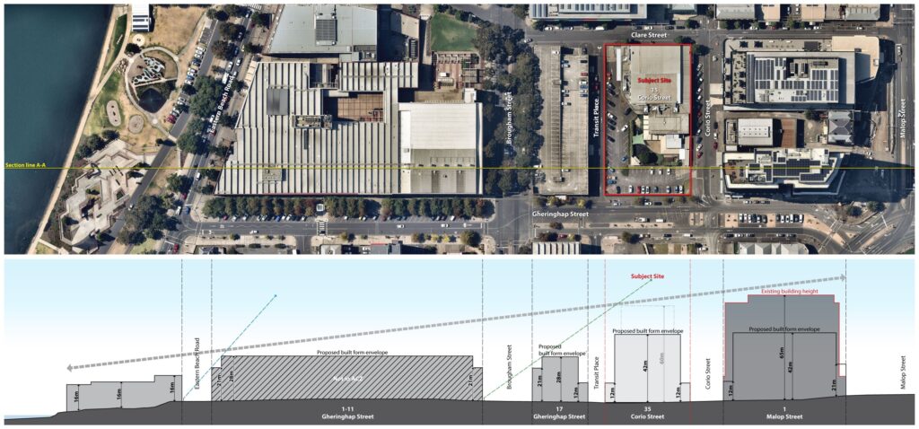
视觉影响评估可帮助利益相关者在设计早期直观地了解将要建造的建筑。与用真实照片合成相比,这类评估可以在相对较短的时间内完成,并且在技术层面达到很高的准确性。 视觉影响评估可以在Ratio 完成,包括专业摄影作品、3D 建模和合成照片。 我们还协助制定提案的设计原则和城市设计评估,并根据推荐的建筑形式做一座3D 建筑建模结构,便于比较和评估。
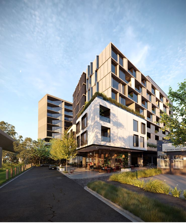
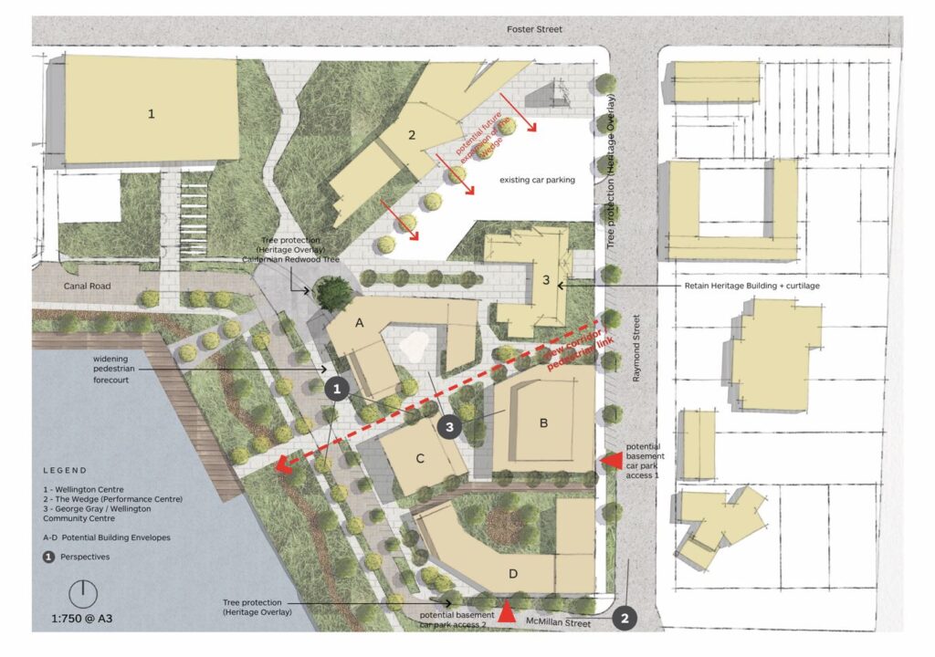
三维建筑形态建模可以将创意精准地转化为兼具技术性的沉浸式城市环境。 我们的三维建模服务提供精准且有针对性的建筑项目和公共空间可视化效果。
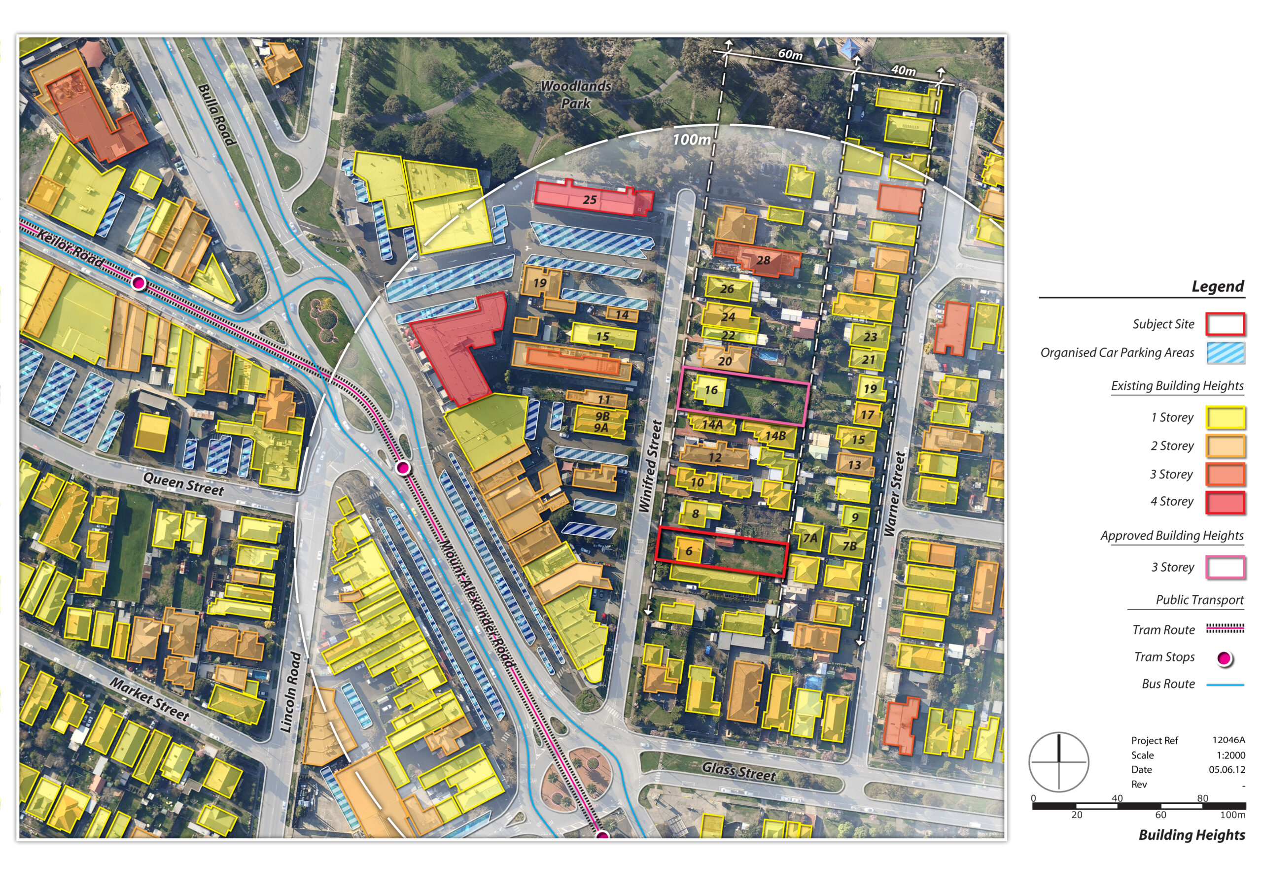
地形分析可全面了解地形特征,这对于思路周全的城市设计和规划非常重要。 我们通过分析地形特征,协助建筑师、城市规划师和开发商优化土地利用、处理环境带来的影响,确保符合法规要求。
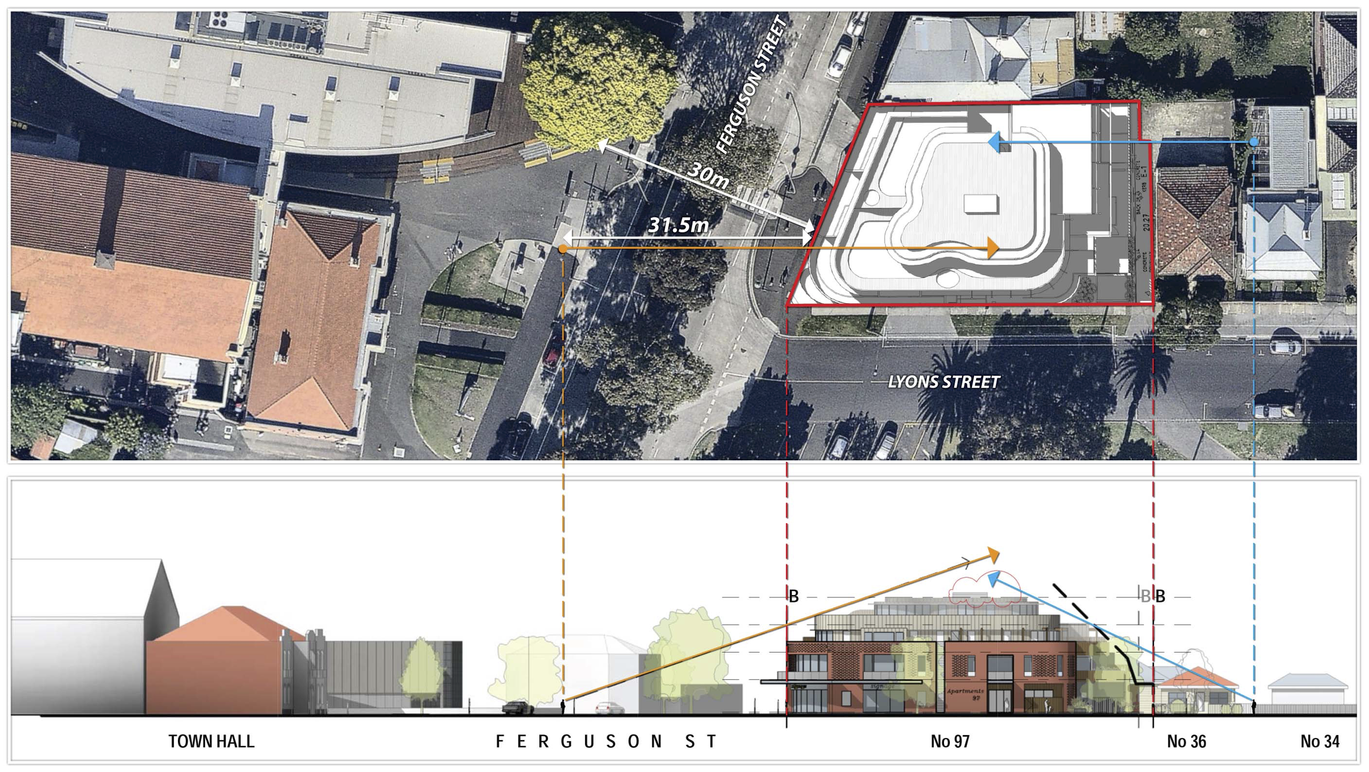
阴影成像及分析通过具体研究阴影,优化城市设计。 我们通过了解建筑物和其它结构投射的阴影影响,协助建筑师、城市规划师和开发商设计空间,最大限度地利用阳光照射,改善公共区域,支持城市环境的可持续发展。
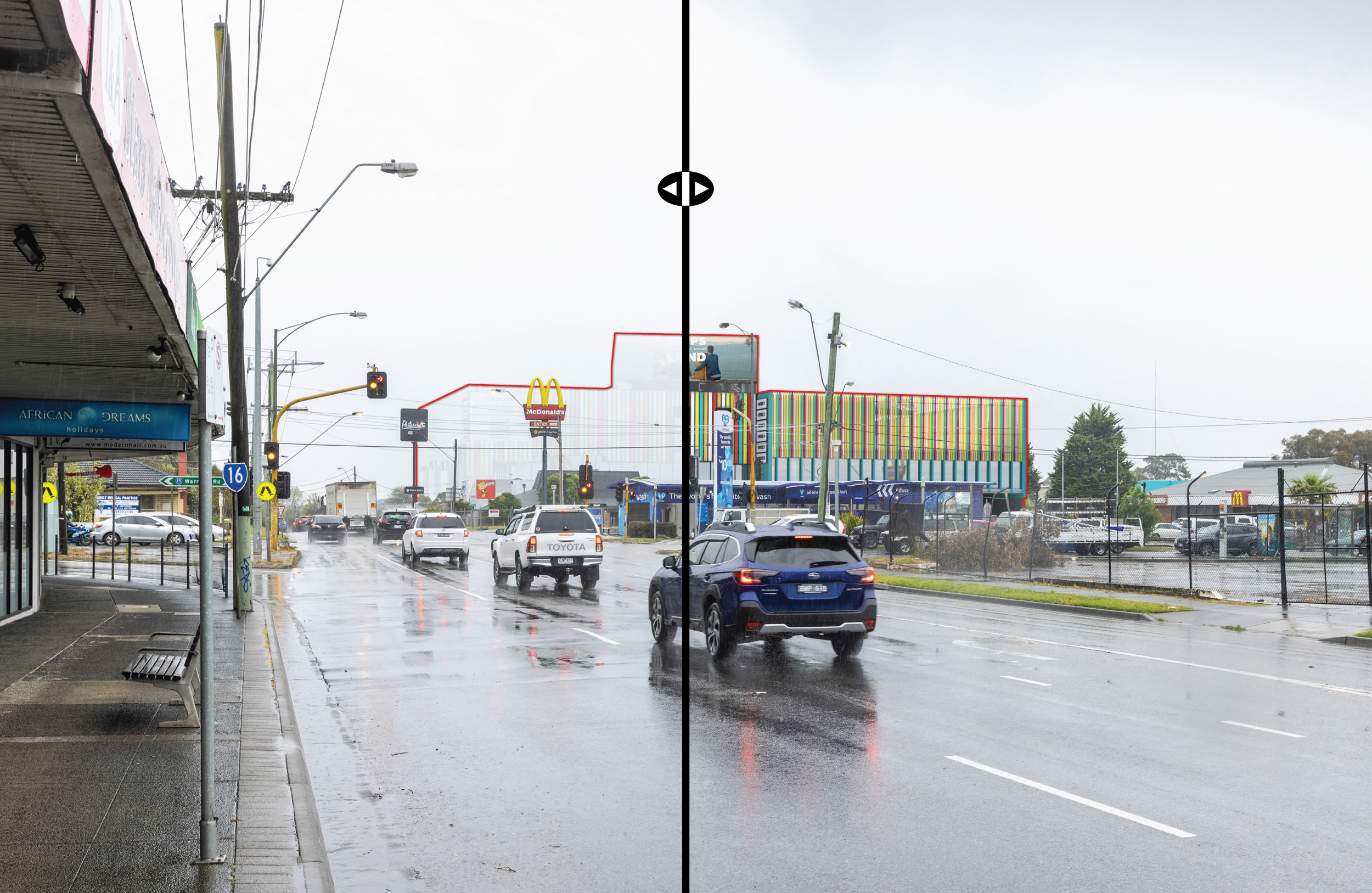
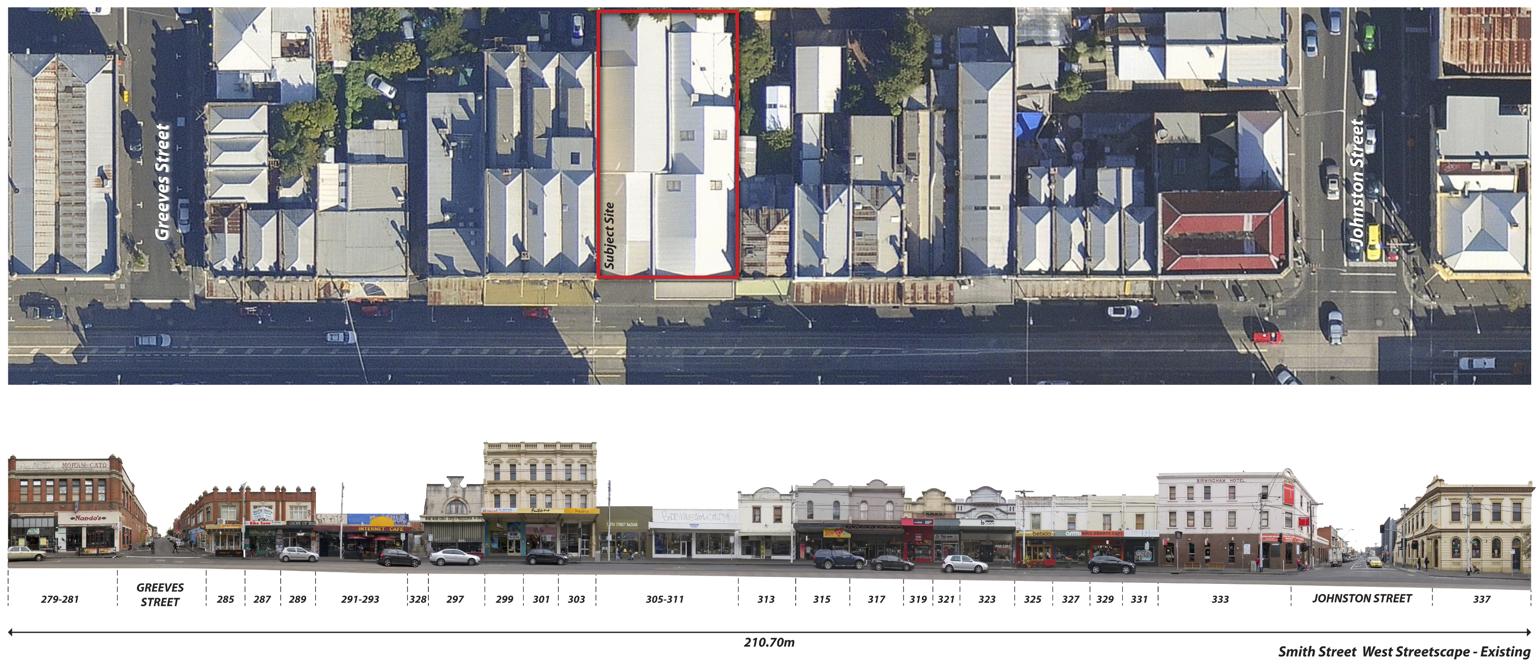
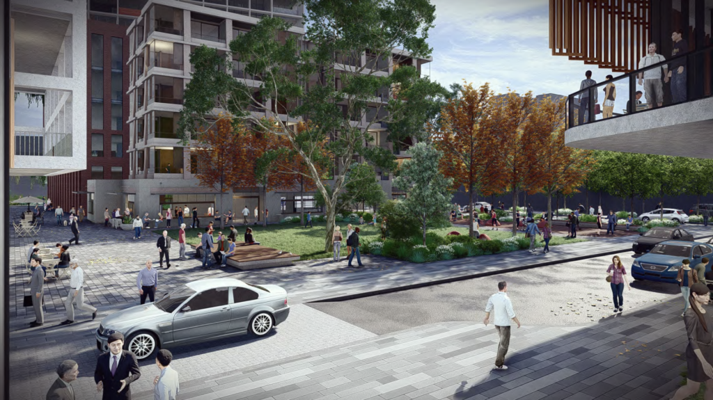
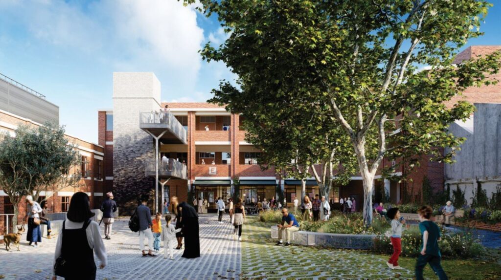
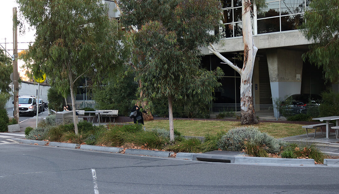
影像街景分析是通过影像来评估和了解街道和公共空间的视觉和功能特征。 这项技术涉及捕捉街景图像,用于分析建筑物、土地使用、行人和车辆交通、标牌、绿化、街道设施和一个潜在开发项目的美观性。
我们利用全面的建筑形态分析能力来创造和谐、可持续且视觉冲击力强的城市环境。 我们可通过细致分析建筑环境,协助建筑师、城市规划师和开发商了解新开发项目的空间和视觉影响来改善城市设计流程,推进实用且具有吸引力的城市可持续发展。
我们的开发能力评估服务,可协助建筑师、城市规划师、开发商和投资人对场地的开发潜力进行全面分析,并协助这些利益相关者就土地使用、最大建筑面积容量和密度作出明智的决策。
容积率和建筑面积比 (FAR) 分析可全面了解场地的允许密度和开发潜力。 我们协助建筑师、城市规划师和开发商就土地使用作出明智的决策,确保符合法规要求,促进城市可持续发展。
GIS 制图为城市规划师、建筑师和开发商提供全面的地理见解和空间数据分析。 我们通过使用先进的 GIS 技术,为作出周全的决策和战略规划提供支持,改善城市环境,促进城市可持续发展。
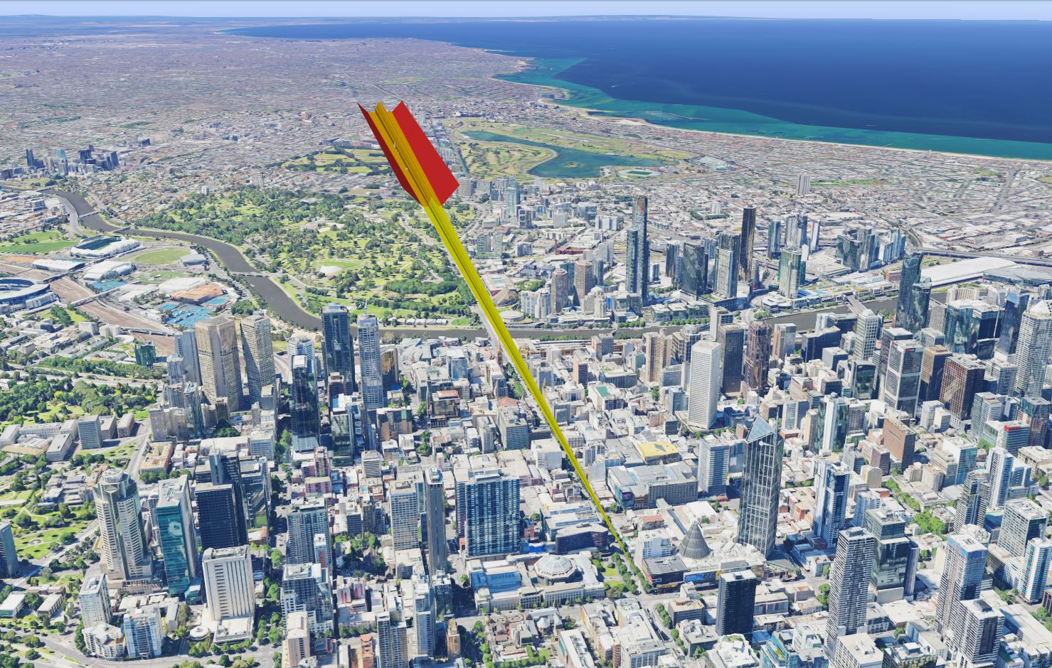
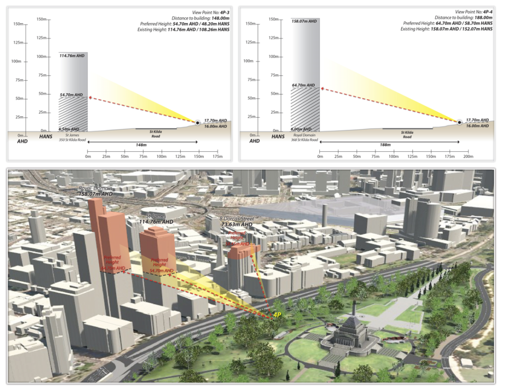
视线评估为建筑师、城市规划师和开发商在评估和优化城市环境中的透视效果提供支持。 我们用详尽的视线成像,协助提高设计质量,确保合规,同时提高城市空间的美观性。
纪念馆景观管控评估是为了保护墨尔本战争纪念馆的历史和文化意义。 我们保护墨尔本重要地标的视觉可见性,凸显城市特色。
Category
Read More
Planning
Urban Design
Transport
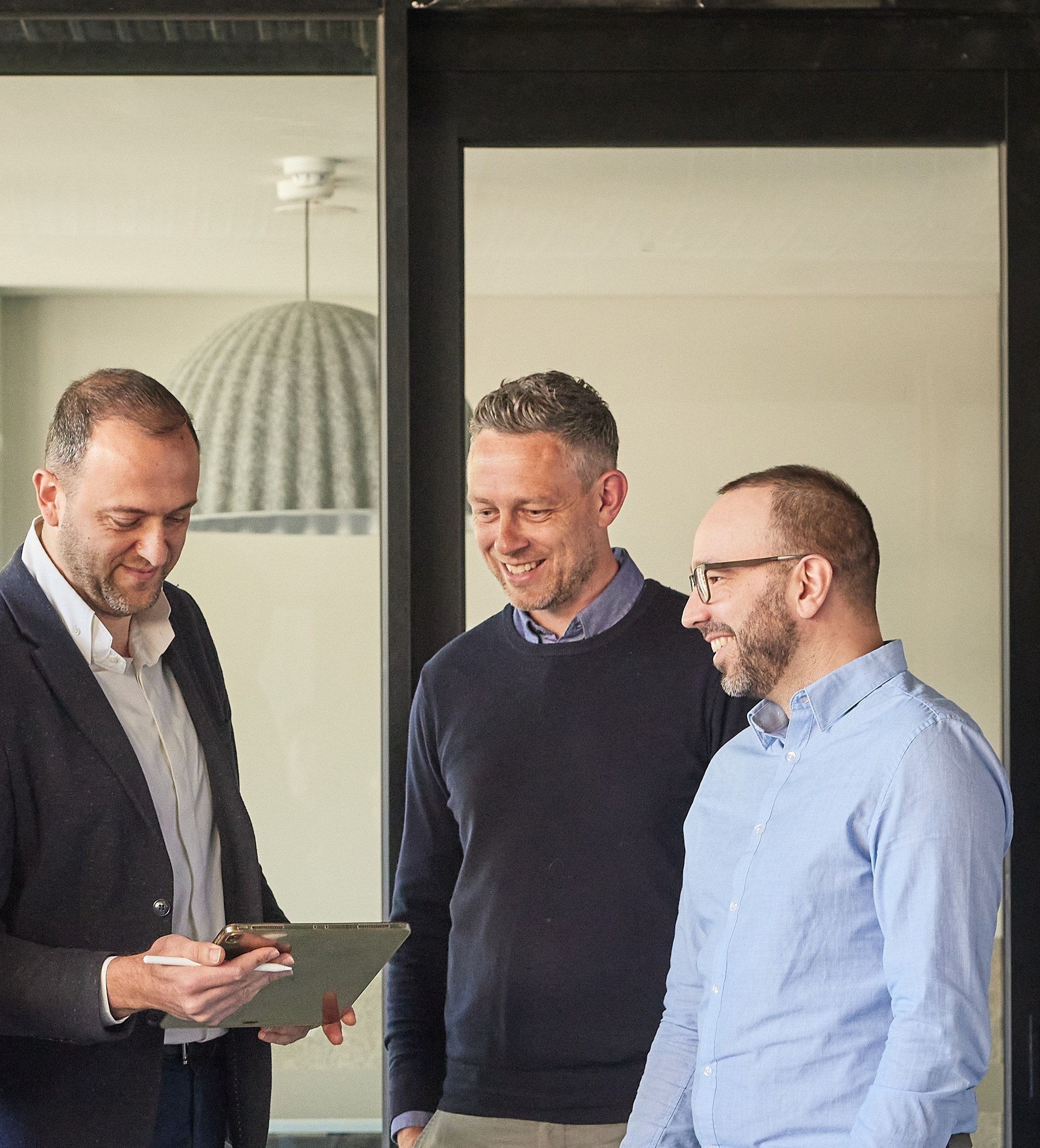
我们全员都是专家,如有需要请向他们咨询。
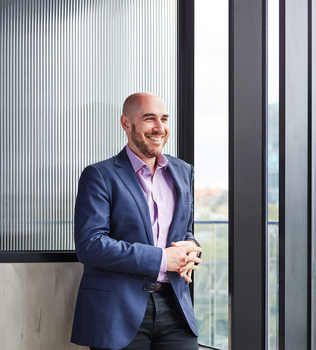
Associate: Urban Design
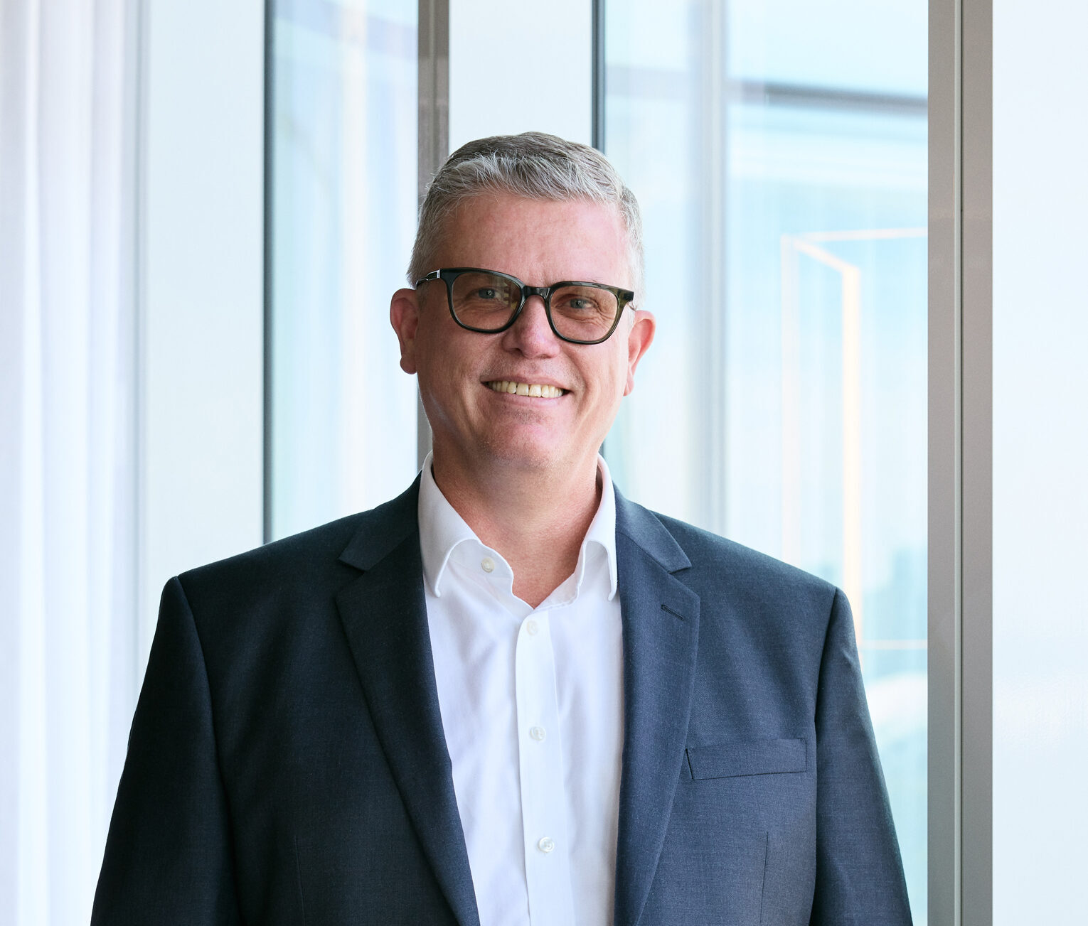
Associate: Landscape Architecture & Urban Design
News, Sydney
News
Melbourne, People
Sydney
Melbourne