Plenty River Trail
Plenty River Trail
Plenty River Trail
Plenty River Trail
The Project
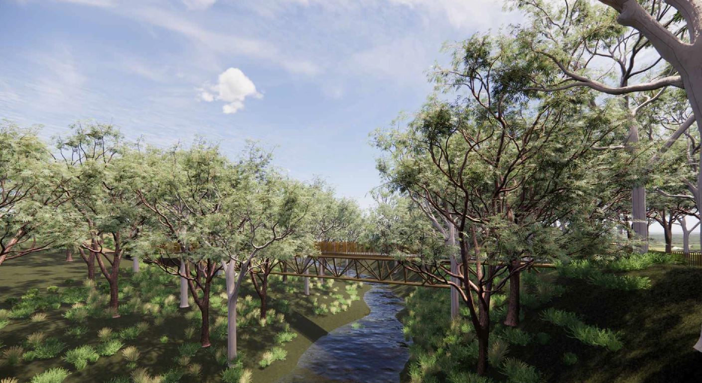
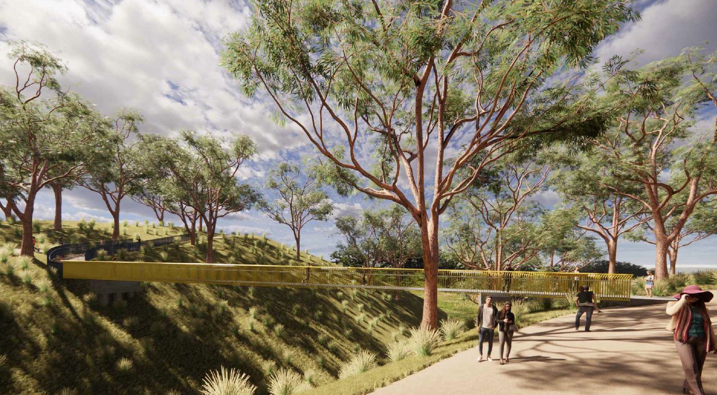
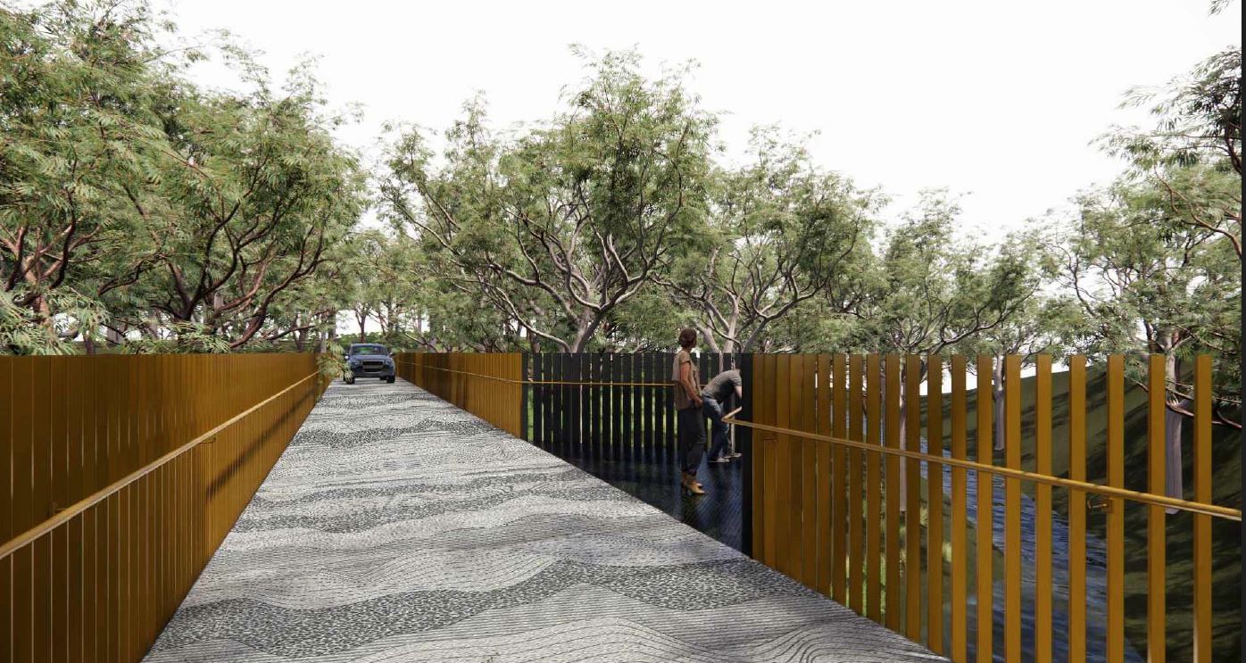
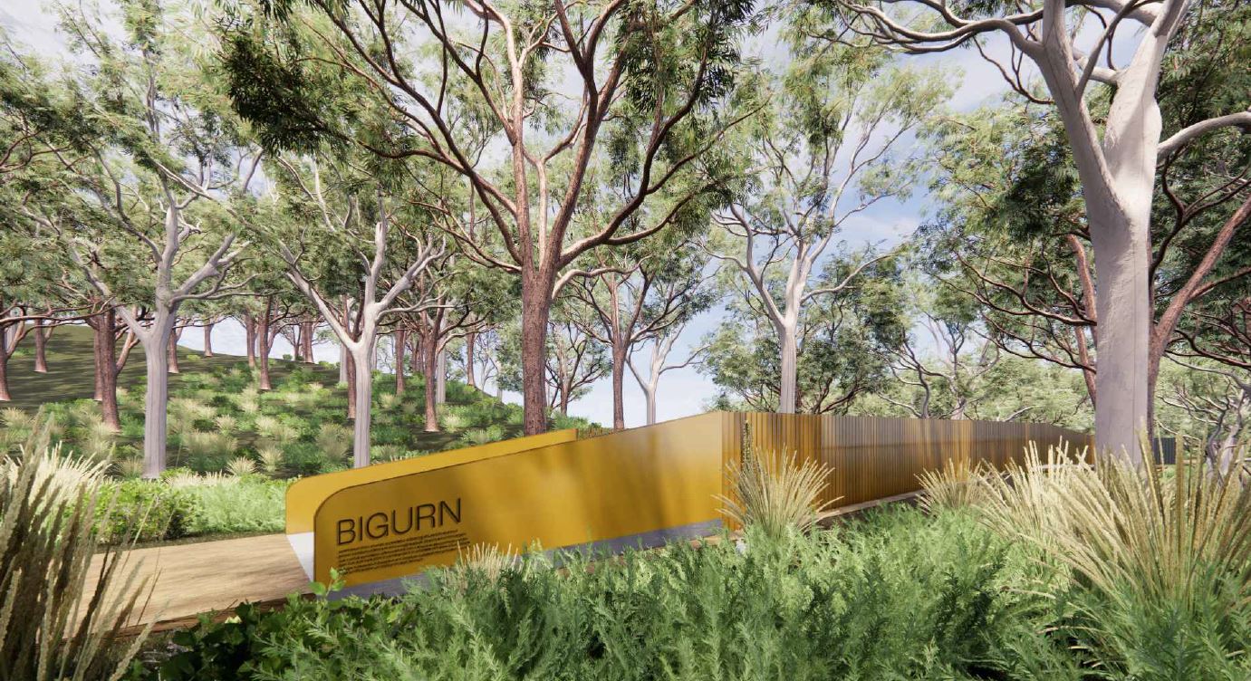
Plenty River Trail (PRT) dividing Plenty Gorge Parklands is the natural border between the municipalities of Whittlesea (west) and Nillumbik (east).
The project encompasses approximately 24 km of new trail and aims to link visitor sites and provide walking and cycling access between the northern and southern sections of the park, extending from University Hill in the south to Doreen in the north.
Our Work
Our urban design and planning teams were engaged by Parks Victoria to provide urban planning and design services associated with gaining approval for the construction of a new pathway/trail along the Plenty River corridor.
These services included mapping the geographical/site planning constraints along the pathway, presenting graphics, identifying planning permit triggers, developing approval pathway strategy and liaising with a range of stakeholders from varying disciplines to streamline the process.
The team also ensured the project met the criteria for the recently introduced (2022) Clause 52.30 State Projects pathway and navigated the uncertainty surrounding the process and associated timeframe for this precedent project’s approval.
The project was subsequently approved by the Minister for Planning as State Project, and all documentation has now been approved to allow work to commence on Stage 1.
Use ⌘/Windows key + scroll to zoom