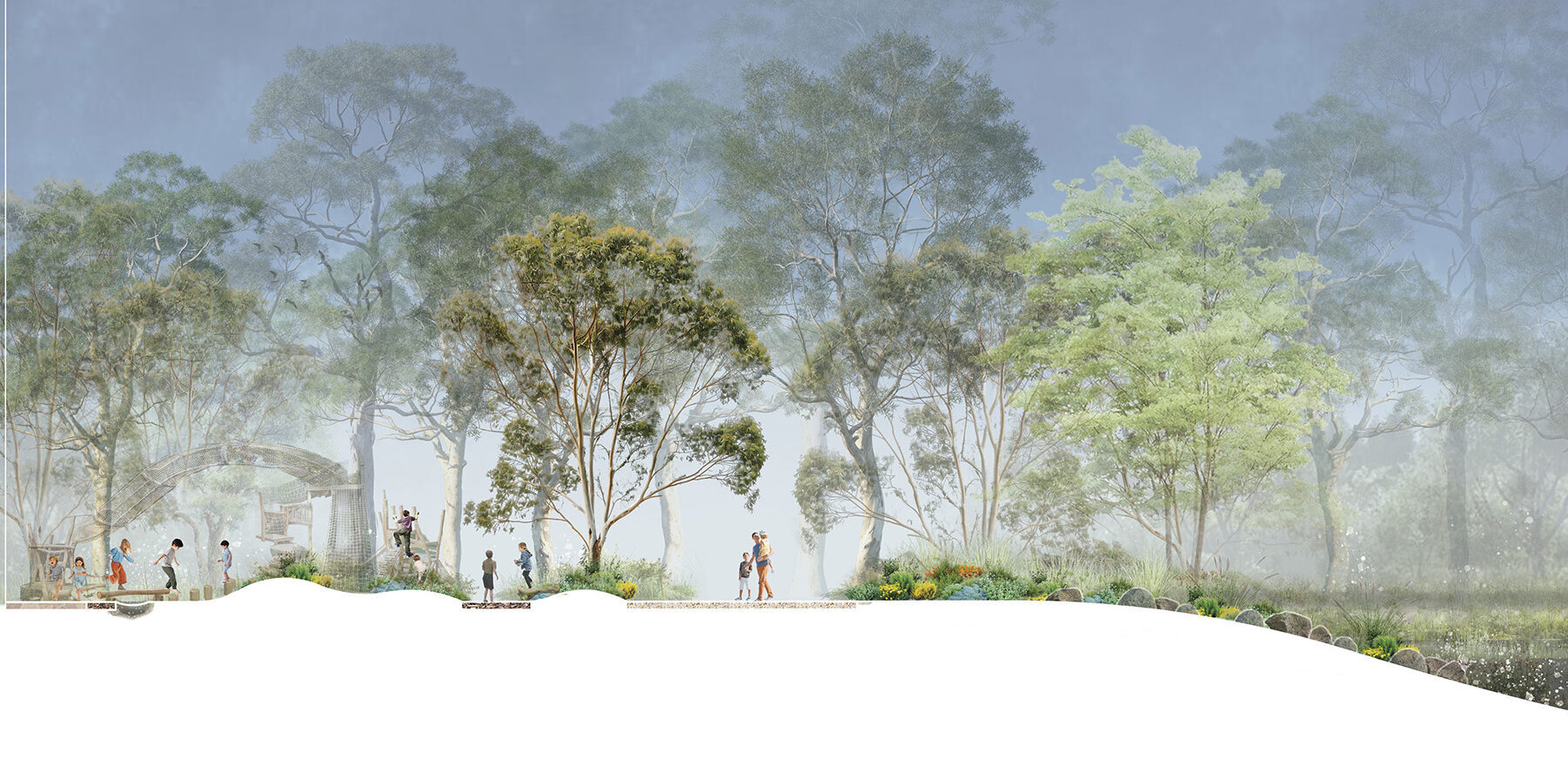
Messmate Road Section Image
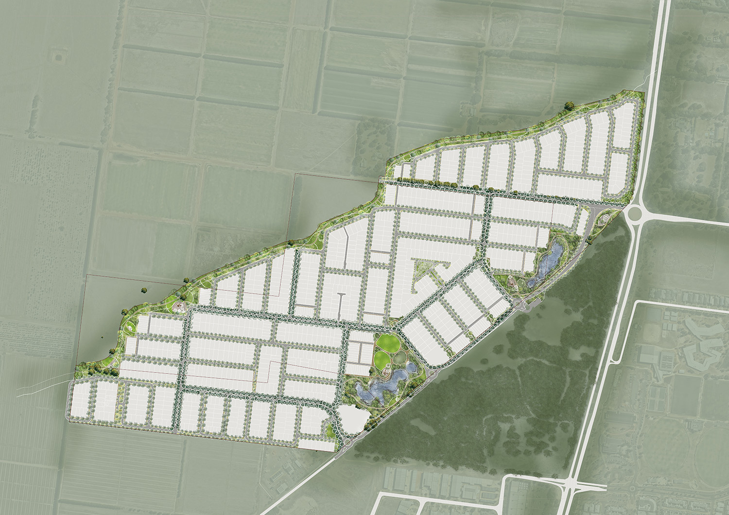
Messmate Road Landscape Plan
The project
Located to the north of Torquay, the Messmate Road project has been an undertaking of great skill and consideration, with key involvement from our multidisciplinary team, acting for three landowners. The project will deliver a new residential community across an 80-hectare area.
Our multidisciplinary team were appointed to prepare a masterplan for the Messmate Road Future Urban Area (FUA). The area has been chosen for future urban development, responding to the rapid growth of the township as the gateway to the Great Ocean Road.
Collaborating with Integra, our team addressed the requirements of Surf Coast Shire Council, coordinating planning outcomes across multiple land ownerships within the residential precinct to deliver over 1,000 new homes.
Our work
We collaborated to develop an integrated masterplan for a coastal residential community in Torquay, bringing together urban design, transport planning, landscape architecture and town planning to create a connected and resilient neighbourhood, retaining Torquay’s coastal character.
To support future development, the transport team developed road and intersection concept plans to inform infrastructure costings and test road network design options, considering drainage, vegetation, and topographic constraints.
The urban design team contributed to the masterplan by responding to the site’s topography; important view lines, such as addressing the planning policy to protect the adjoining Thompson Creek Valley from visual intrusion; and environmental constraints, to deliver a series of residential neighbourhoods, a street and shared path network, landscaped open spaces and wetlands.
Our landscape architecture team previously established nodes that define different areas, connected by a street tree planting plan that strengthens the public realm, and meet 30% of urban canopy targets.
Through ongoing stakeholder and authority engagement, the team collaborated with external consultants and developed a coordinated planning framework supported by detailed transport modelling and intersection analysis to inform future subdivision applications and deliver a connected, sustainable community.
Use ⌘/Windows key + scroll to zoom